


Montgomery Voting District, Le Sueur County, Minnesota
About
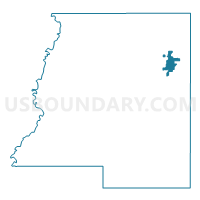
Outline

Summary
| Unique Area Identifier | 602912 |
| Name | Montgomery Voting District |
| County | Le Sueur County |
| State | Minnesota |
| Area (square miles) | 2.62 |
| Land Area (square miles) | 2.62 |
| Water Area (square miles) | 0.00 |
| % of Land Area | 99.98 |
| % of Water Area | 0.02 |
| Latitude of the Internal Point | 44.44540430 |
| Longtitude of the Internal Point | -93.58006070 |
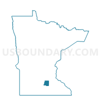
Maps

Graphs
Select a template below for downloading or customizing gragh for Montgomery Voting District, Le Sueur County, Minnesota


Neighbors
Neighoring Voting District (by Name) Neighboring Voting District on the Map
- Lanesburgh Twp. Voting District, Le Sueur County, MN
- Montgomery Twp. Voting District, Le Sueur County, MN
Top 10 Neighboring County Subdivision (by Population) Neighboring County Subdivision on the Map
- Montgomery city, Le Sueur County, MN (2,956)
- Lanesburgh township, Le Sueur County, MN (2,035)
- Montgomery township, Le Sueur County, MN (665)